

Transform the way you manage your utility network. From real-time analysis to customer insights, MapAI empowers utility companies to ask complex questions and get instant, actionable answers.
Utility companies manage vast networks and complex datasets—from infrastructure to customer data. MapAI streamlines access to this information, enabling teams to analyse outages, optimise maintenance schedules, and respond to customer needs with speed and precision. Whether it’s identifying high-risk areas, streamlining service delivery, or forecasting demand, MapAI helps you deliver smarter, more efficient services.
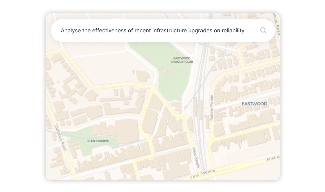


Chat enable your unique data
Local governments are entrusted with managing sensitive community data, making security and trust paramount.
MapAI integrates seamlessly with your existing systems, ensuring all data remains secure, private, and compliant. With MapAI, your council can provide transparent, accurate, and easily understandable insights to your community, building trust and engagement like never before.
What is MapAI, and how can it enhance geospatial platforms?
MapAI is an AI-powered conversational tool designed to make geospatial data accessible through natural language queries, enhancing user engagement and delivering actionable insights.
How does MapAI integrate with existing geospatial platforms?
MapAI’s API seamlessly connects with your platform’s data systems, ensuring secure integration while leveraging your unique datasets to deliver tailored insights.
What industries benefit from MapAI-enabled geospatial platforms?
MapAI supports a range of industries including urban planning, utilities, government services, and real estate, empowering them to extract meaningful insights from geospatial data.
Is MapAI suitable for non-technical users?
Yes, MapAI is built with non-technical users in mind, enabling anyone to access and interpret geospatial insights effortlessly through plain language queries.
How secure is MapAI for geospatial data?
One of the best features of MapAI is that we don’t need your data! Keep your data where it is already stored, and we’ll bring the conversational AI to you. This ensures your data remains private, safe, and fully controlled by your platform.
How does MapAI improve the user experience on geospatial platforms?
By providing conversational AI capabilities, MapAI enables users to query geospatial data in plain language, reducing complexity, increasing engagement, and unlocking actionable insights faster.
How do I get started with MapAI on my geospatial platform?
Contact us to schedule a demo or discuss your platform’s needs. Our team will guide you through the readiness assessment and integration process to ensure a smooth deployment.
Is MapAI scalable for large geospatial platforms?
MapAI is designed to scale with your platform, accommodating growing data volumes and expanding user bases while maintaining high performance and reliability.
Can MapAI improve the accessibility of my geospatial platform?
Yes, MapAI democratises access to geospatial data by providing intuitive, plain-language interfaces that allow all users—regardless of technical expertise—to engage with your platform effectively.
What industries benefit from MapAI-powered geospatial platforms?
MapAI enhances geospatial platforms serving various industries, including urban planning, utilities, transport, real estate, government, and environmental monitoring.
How does MapAI support geospatial platforms in delivering value to their customers?
MapAI enhances geospatial platforms by enabling customers to access, understand, and act on location-based insights, providing significant value in decision-making, resource allocation, and strategic planning.It also helps you understand what your users are actually trying to ask of your data
How can MapAI help my platform gain a competitive edge?
By integrating conversational AI and simplifying data access, MapAI makes your platform more intuitive and powerful, attracting new users and improving retention.
Does MapAI support real-time data analysis for geospatial platforms?
Yes, MapAI processes real-time data inputs, enabling users to make timely and informed decisions based on the latest geospatial insights.
What types of geospatial data work best with MapAI?
MapAI is compatible with a wide range of geospatial data, including satellite imagery, demographic data, zoning maps, environmental data, and more, making it versatile for any platform.
Can MapAI be customised for my platform's specific use cases?
Absolutely. MapAI can be customised to address your platform's unique data needs, user workflows, and industry requirements, delivering a tailored solution for maximum impact.

